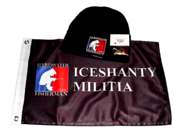
Support Iceshanty... Get some great gear and forum goodies... Join The Iceshanty Hardwater Militia
I was down to the big point across from campground. It was still 12 inches of ice there.
where is the island at you come of the north boat ramp and walk south is that were yoyu are talking about
Check with Mike again, but when I was in there a month ago he said he had two maps left. He gave me one, and said he was keeping the other and the DNR was not allowing him to sell any more.
This was the newer map, with the flats and the turkey foot marked. Not the older map with all the waypoints of rockpiles, brushpiles, etc. Im not sure if the original is still available, but mike does have the new map posted above the bait tank, so you can still get a good look at it.
i've got one i laminated....and i'll only charge $2/ minute to look at it!! jusk kidding.....if someone wants to get with me and pop a bunch of holes we can scout these things out together....i've only fished a couple of the piles.
Why pay for a map when you can go here and download it for free?http://www.iowadnr.gov/fish/fishing/lakes/maps/brc94.pdfThat might be why DNR didn't want him to sell anymore...